Ocean Map Illustration Generator
Create detailed fantasy maps for your world-building projects, DnD campaigns, and stories
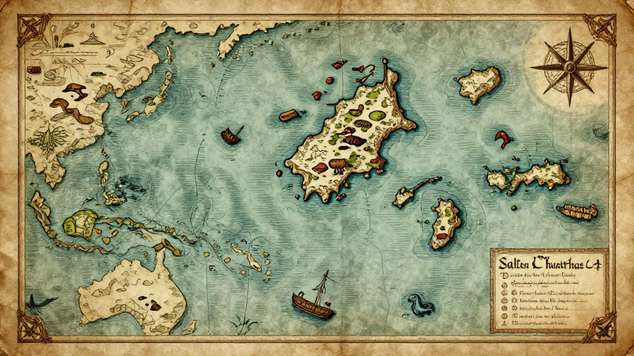
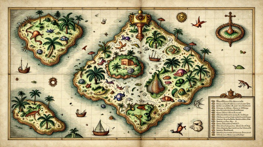
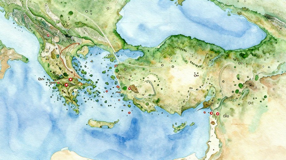
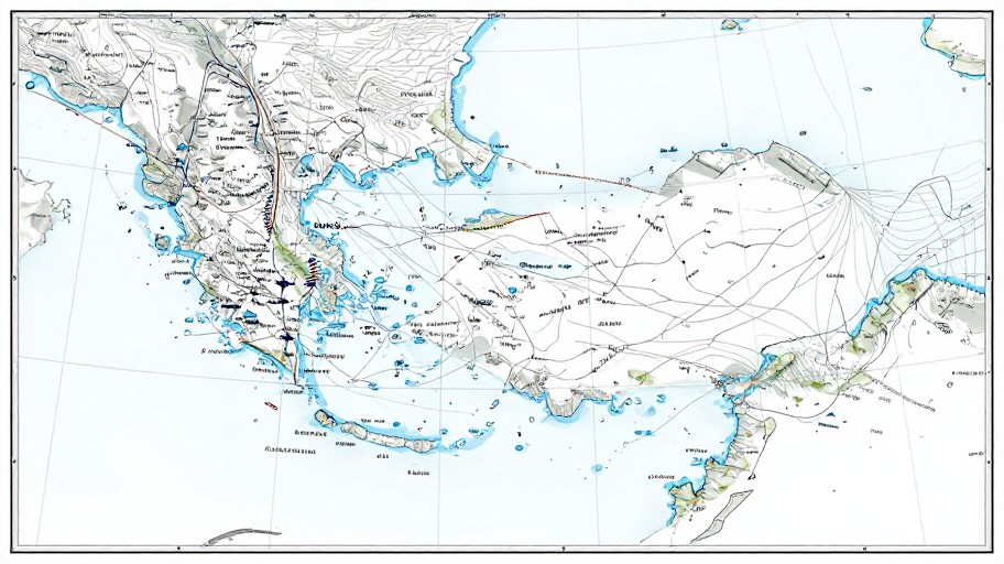
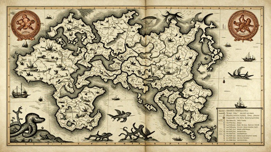
Ocean map illustration
Your generated content will appear here
Ocean Map Illustration Generator Examples
See what others have created

How to Get Started
Simple steps to create amazing results
Describe Your Ocean
Specify the type of ocean map you want - vast seas, coastal waters, or mysterious deep ocean territories. Add details like island chains, sea routes, and nautical features.
Customize Your Map
Choose your preferred style, color palette, and level of detail. Add custom elements like compass roses, depth indicators, trade routes, and legendary sea monster territories.
Download & Use
Generate your ocean map instantly and download it in high resolution. Use it for your DnD campaigns, fantasy novels, world-building projects, or any creative endeavor.
Main Features
Powerful capabilities at your fingertips
Customizable Ocean Styles
Choose from vintage nautical charts, modern ocean maps, fantasy sea territories, and more. Adjust colors, textures, and artistic styles to match your vision.
Smart Map Elements
Automatically generate realistic ocean features including currents, depth variations, island formations, shipping lanes, and legendary locations with intelligent placement.
High-Resolution Export
Download your ocean maps in crisp, print-ready quality. Perfect for tabletop gaming, book illustrations, wall art, or digital world-building projects.
Unlimited Iterations
Create as many ocean maps as you need. Experiment with different configurations, styles, and features until you find the perfect maritime world for your project.
Frequently Asked Questions
Everything you need to know
How do I create a fantasy map?
Can I use the map generator for free?
What types of maps can I create?
Can I add custom locations and names to my ocean map?
Ready to Get Started?
Create stunning ocean maps for your fantasy worlds, campaigns, and stories in seconds. Start charting your seas today.