Railway Map Illustration Generator
Create detailed and visually appealing metro maps for any city, region, or transit system with custom lines, routes, and styles
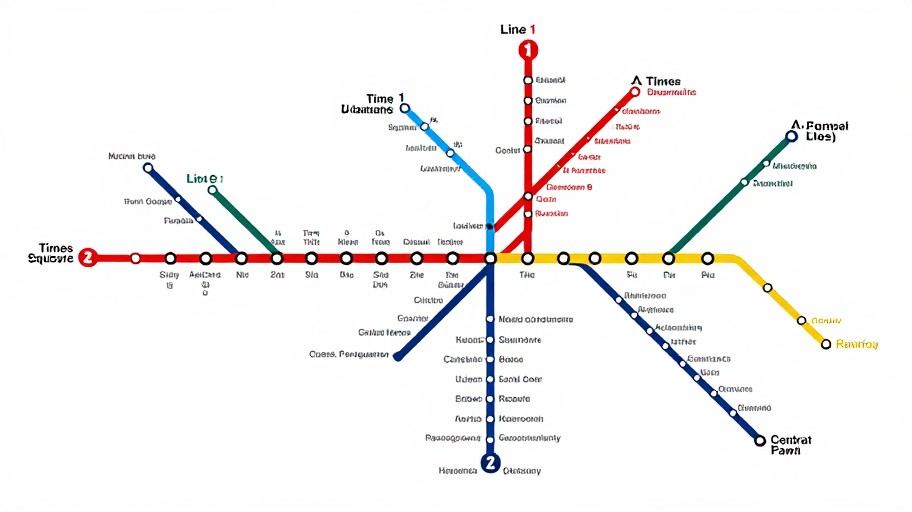
Railway Map Illustration Generator Examples
See what others have created
How to Get Started
Simple steps to create amazing results
Enter Route Details
Describe your railway network by entering city names, stations, and routes you want to visualize on your map.
Customize Your Style
Choose from modern, classic, or vintage map styles. Select colors, line thickness, and add landmarks or points of interest.
Generate & Download
Click generate to create your railway map illustration instantly. Download in high-resolution formats ready for print or digital use.
Main Features
Powerful capabilities at your fingertips
Multiple Map Styles
Choose from modern metro, vintage railway, or classic transit map aesthetics to match your project needs.
Smart Route Generation
Automatically generates clean, professional railway lines with proper spacing and optimal layout algorithms.
Custom Landmarks
Add stations, transfer points, landmarks, and icons to create detailed and informative transit maps.
High-Resolution Export
Download your railway maps in PNG, SVG, or PDF formats suitable for presentations, websites, or printing.
Color Customization
Assign unique colors to different lines and routes, creating clear visual distinctions between transit services.
Unlimited Creations
Create as many railway map illustrations as you need without restrictions or usage limits.
Frequently Asked Questions
Everything you need to know
Ready to Get Started?
Create stunning railway map illustrations in seconds. No design skills required.