Subway Map Illustration Generator
Create detailed and visually appealing subway maps for any city with custom lines, routes, and stations
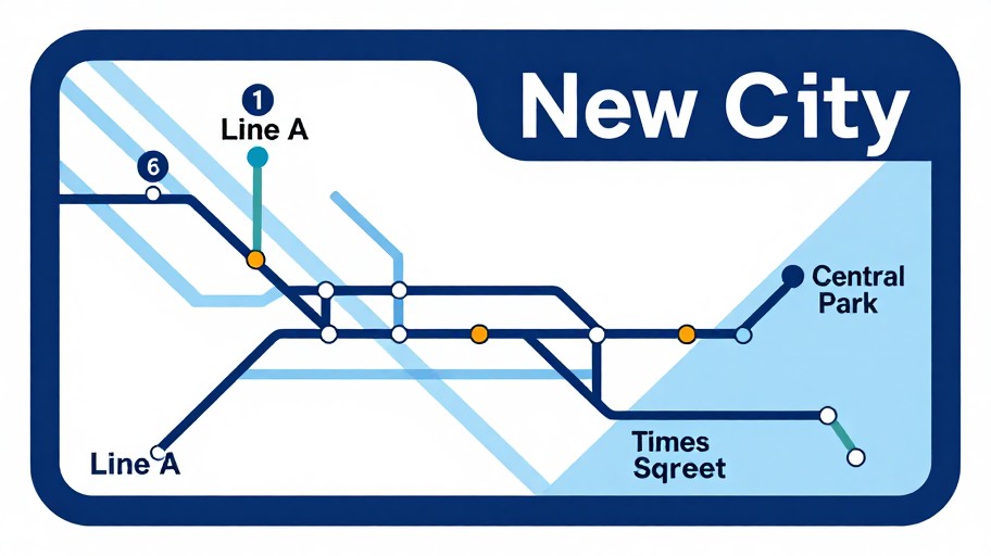
Subway Map Illustration Generator Examples
See what others have created
How to Get Started
Simple steps to create amazing results
Enter Your City Details
Specify the city name, transit lines, and key stations you want to include in your subway map illustration.
Customize Your Design
Choose your color scheme, line styles, typography, and layout preferences to match your vision or brand.
Generate & Download
Click generate to create your custom subway map, then download it in high resolution for any use.
Main Features
Powerful capabilities at your fingertips
Fully Customizable Design
Control every aspect of your map including colors, fonts, line styles, and station markers to create a unique look.
AI-Powered Layout
Our intelligent system automatically arranges routes and stations in a clear, professional transit map style.
Multiple Export Formats
Download your subway maps in PNG, SVG, or PDF formats, perfect for printing, web use, or presentations.
Instant Generation
Create professional-quality subway map illustrations in seconds, no design experience required.
Any City, Real or Fictional
Generate maps for existing cities or create completely fictional transit systems for creative projects.
Professional Quality
Get crisp, detailed illustrations that match the aesthetic of real transit authority maps.
Frequently Asked Questions
Everything you need to know
Ready to Get Started?
Create stunning subway map illustrations in seconds. No design skills needed.